Integrated Farm Planning
The transition to a regenerative economy is a difficult task with major organisational challenges and economic risks . There is no single way to achieve the goal; it is individual and depends on the context of the farm. With the help of Integrated Planning and the Permanence Scale (Regrarians CheckList) we will help to define long-term (intergenerational) goals and viable short-term action strategies:
CLIMATE
-Sourcing of historical climate data -Integrated Decision-Making (internal/organisational climate)
GEOGRAPHY
– acquisition of topographic data
– creation of maps: contour (contour), slope, etc.
– data analysis for Keyline work
– GNSS field measurements (coming soon).
WATER
– Determination of catchment potential and water demand
– Hydrological maps
– Strategies for the retention and use of rainwater
– Water distribution
ACCESS
-optimisation of internal logistics
ECOSYSTEMS
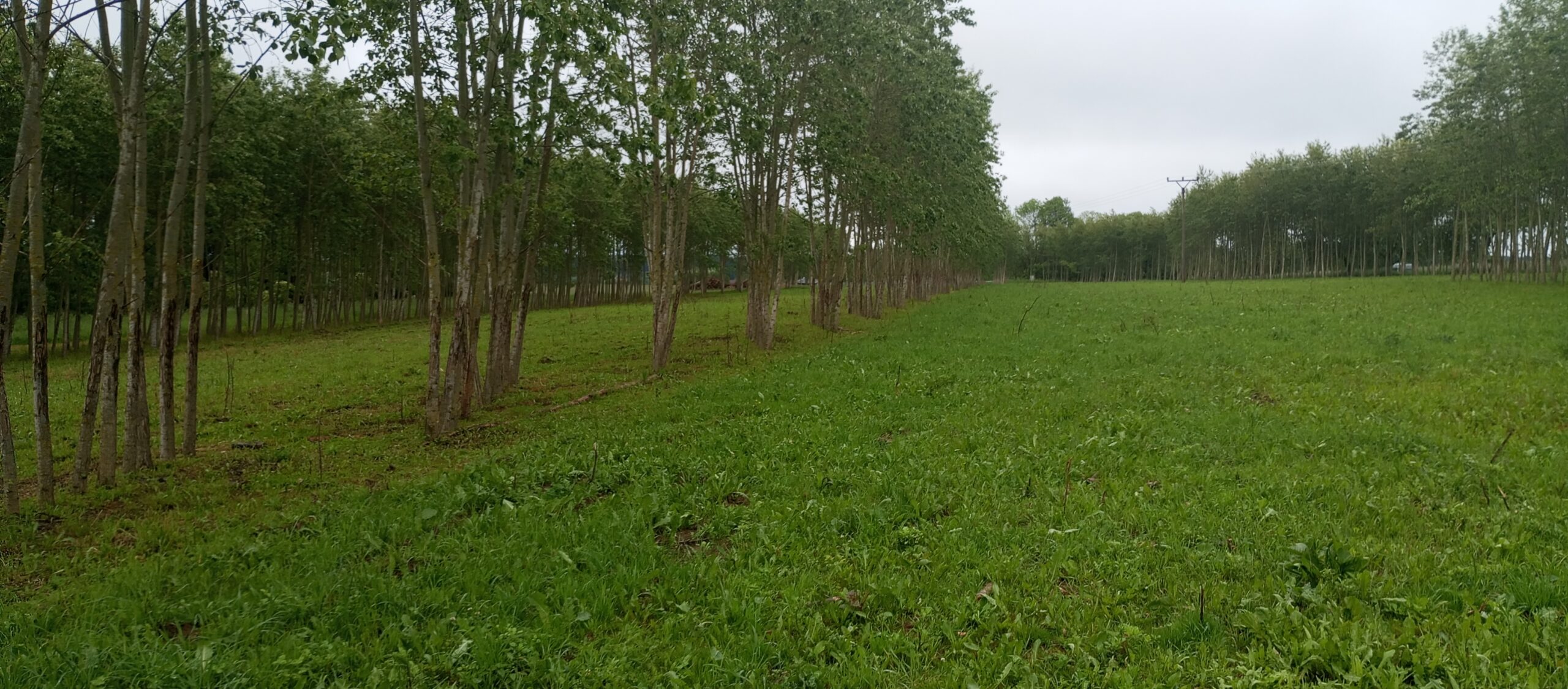
– agroforestry
– selection of species and forms of afforestation
– traditional forest management
– integration of animals
FENCES
– access control
– animal welfare
SOIL
– regenerative practices (composting, no-till, market gardening, catch crops/pre-crops/intercrops etc.)
– regenerative agronomy – soil food web (microscopic analysis – action strategies)
ECONOMY
– Integrated Financial Planning
ENERGY
– Biomass: choice of species and form of trees
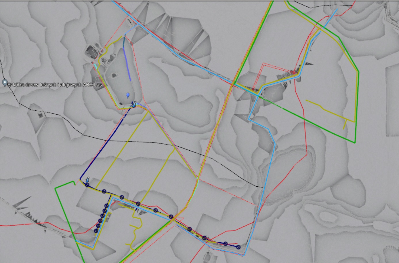
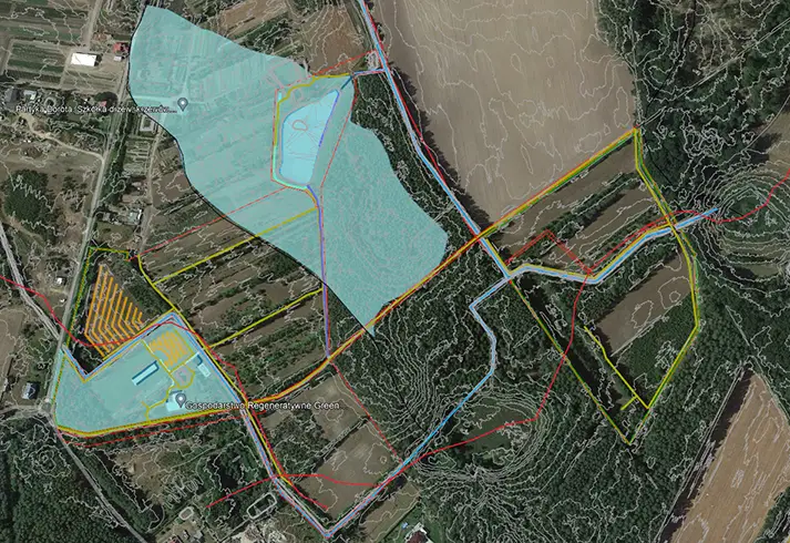
Keyline plan
Czym jest ” Keyline Plan”:
“…”Keyline Plan” jest systemem planowania i rozbudowy krajobrazu rolniczego gdzie główny nacisk kładziemy na kontrolę wody oraz rozplanowanie wszystkich pozostałych elementów gospodarstwa w zgodzie ze Skalą Permanentności…” – Darren J Docherty (Regrarians Platform)
“… woda jest głównym medium planistycznym. Woda pojawia się przed planowaniem dróg, ogrodzeń i wszystkiego innego. Jeżeli odpowiednio zaplanujesz obieg wody, naprawisz drogi i posadzisz drzewa we właściwym miejscu, a nikt tego nie robi…” – twórca The Keyline Plan P.A Yeomans (dla telewizji ABC 1979)
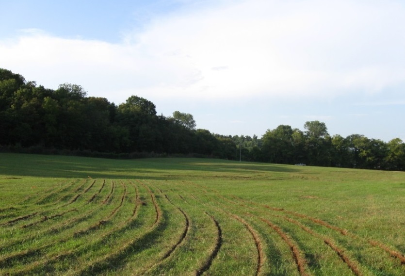
Definicja tego systemu oraz literatura z nią związana może wydawać się skomplikowana i nie nadająca się do wykorzystania w warunkach Polski – nic bardziej mylnego. Skupiając się na topografii terenu, zasobach oraz indywidualnym kontekście gospodarstwa jesteśmy w stanie stworzyć prosty, funkcjonalny i estetyczny krajobraz który pozwoli nam zatrzymywać wodę opadową oraz zwiększyć żyzność gleb.
Upraszczając: prócz zintegrowanego planowania głównymi narzędziami tego systemu są: praca maszynami oraz nasadzenia drzew wzdłuż warstwic (adekwatnie do topografii terenu), zarządzanie obiegiem oraz gromadzenie wody opadowej
PROCES:
- First contact
- Field visit / satellite analysis (online)
- Completion of the “Checklist “
- Collection of necessary data: climate, topography, hydrology, geology, etc.
- Definition of long-term goals and short-term action strategies
- Selection of crops and type of planting
- Landscape concept plan / GIS design in a geodetic matrix (service available from 10.24)
- Detailed plan/timetable for sowings and plantings
- Autopilot – a detailed plan of farm work during the growing season
- Implementation of the conceptual plan / GNSS measurements, marking of points in the field (service available from 10.24)
- Monitoring/feedback from the ecosystem
- Amendments / change of assumptions
…. . the process is endless
“All that matters is the path. It is it that lasts, not the destination, which is the wanderer’s illusion when he goes from one ridge of a mountain to another, as if the goal achieved had any meaning. “Antoine de Saint-Exupéry
“At a certain stage of the journey one comes to the discovery that external confirmation is of less value than the internal state we have achieved. “Marek Kaminski
Are you interested in cooperation, do you need more information:
Call or write
tel. 724 117 054
e-mail: biuro@agropartyka.pl
